Total Kilometers
Ver esta página en español

Forecast
News
This page is no longer updated. It contains over 7000 Km of
published routes that are kept online as a help to mountain cyclists
who may find them useful.
We continue to go out on routes twice a week, enjoying the mountains
and cycling. Javier Tovar, who is a co-author of this page,
publishes the routes on
his Wikiloc account so that anyone interested
can follow them.
Mountain Bike Routes in Cantabria, Spain
GPS Tracks
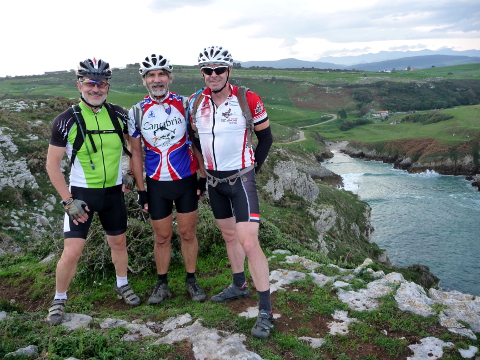
By: Javier Tovar, Pedro Ceballos, and Michael González Harbour
Cantabria is a Spanish region with almost unknown villages and
mountain spots of extraordinary beauty. In this page you can
find mountain bike routes that we have enjoyed cycling in these
beautiful mountain areas in Cantabria. They are routes of mid
difficulty that offer us spectacular views of the landscapes
that make us fall in love with this region.
The routes are almost completely cyclable. Most of them go
through mountain dirt roads, and some are on trails or even
have some short cross country segments. Many also have an
initial and final part on secondary roads.
All routes begin and end in the same place, so that we can get
there by car, carying our bikes.
The routes can be viewed in 3D projected on satellite
pictures thanks to the free Google Earth program. In addition
to the tracks in Google Earth format, we also provide the GPS
track files that you can download on your GPS receiver, maps of
the routes, the altitude profiles, and pictures of the
area. You can also view the track on satellite pictures using
Google Maps.
We hope you enjoy them as much as we do!